From Soil to Satellite: How Public Climate Data Is Leveling the Playing Field for American Farmers
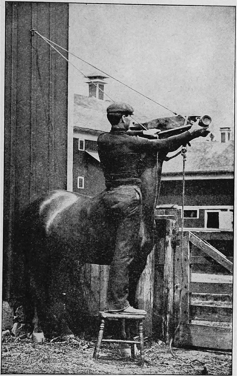
Photo: Internet Archive Book Images, No restrictions, via Wikimedia Commons
A New Kind of Field Work
For decades, the most precise agricultural weather intelligence belonged to those who could afford it. Large corporate farming operations contracted private meteorological services, accessed proprietary satellite feeds, and employed data analysts whose sole job was translating climate signals into planting decisions. Independent farmers, particularly those working family-owned operations across the Corn Belt and the High Plains, largely made do with local forecasts and generational intuition.
That landscape is shifting. The proliferation of verified, open-access climate datasets — maintained by federal agencies, research universities, and science-driven repositories — has begun redistributing a form of knowledge that carries enormous economic and ecological weight. When a grower in western Kansas can access the same gridded soil moisture data as an agribusiness conglomerate headquartered in Omaha, the competitive calculus of American agriculture changes in meaningful ways.
What the Data Actually Looks Like
The datasets now available through open repositories are not simple temperature averages. Platforms drawing from sources such as NOAA's National Centers for Environmental Information, NASA's POWER (Prediction Of Worldwide Energy Resources) project, and the USDA's National Agricultural Statistics Service provide layered, high-resolution information: evapotranspiration rates, Palmer Drought Severity Index values, vapor pressure deficit measurements, and historical precipitation percentiles broken down by county and even sub-county grid.
For a farmer evaluating whether to plant a drought-tolerant sorghum variety or stick with conventional corn, these variables are not academic abstractions. They represent the difference between a profitable harvest and a financial loss that may require years to recover from. Verified, transparent data — the kind that comes with documented methodology and reproducible sourcing — allows agricultural advisors and individual growers alike to build decision frameworks grounded in evidence rather than approximation.
Researchers at institutions including Kansas State University and the University of Nebraska–Lincoln have developed publicly accessible tools that translate raw climate repository data into actionable agronomic guidance. These platforms allow users to query historical drought frequency, project pest pressure windows based on temperature accumulation models, and simulate irrigation scheduling under various rainfall scenarios — all without a subscription fee or institutional paywall.
Case Study: Drought Response in the Great Plains
The 2022 and 2023 growing seasons placed extraordinary stress on winter wheat producers across Oklahoma, Kansas, and Colorado. Persistent La Niña conditions suppressed precipitation across the southern and central Plains, and many growers faced the difficult decision of whether to abandon stressed crops early — a practice known as abandonment — or continue investing inputs into fields unlikely to yield economic returns.
Farmers who integrated open-access drought monitoring data into their decision-making reported measurably better outcomes. By cross-referencing U.S. Drought Monitor classifications with historical yield data available through public repositories, several cooperative extension programs helped growers identify thresholds at which abandonment was statistically justified. The result was not merely financial: early abandonment of doomed crops allowed soil moisture to be preserved for subsequent cover crop establishment, contributing to longer-term land health.
This type of analysis, once reserved for university research trials or corporate agronomy departments, is now replicable by any producer with internet access and the willingness to engage with open datasets. The barrier is no longer data availability — it is data literacy, a gap that extension services and open-science platforms are actively working to close.
Pest Management and the Predictive Edge
Beyond drought, climate data is reshaping how farmers anticipate and respond to pest pressure. Insect development is closely tied to temperature accumulation, a concept agronomists quantify using growing degree day (GDD) models. When open-access temperature datasets are fed into these models, growers can predict with considerable accuracy when pest populations — aphids, corn rootworm, wheat stem sawfly — will reach economically damaging thresholds.
In Illinois and Iowa, pilot programs have demonstrated that GDD-informed scouting schedules reduce unnecessary pesticide applications by allowing farmers to time interventions precisely rather than applying treatments on a fixed calendar. The environmental benefits compound: fewer applications mean reduced chemical runoff into waterways, lower input costs for the farmer, and diminished selection pressure that would otherwise accelerate pesticide resistance.
The data underlying these models is entirely publicly available. What has changed is the infrastructure for accessing, verifying, and interpreting it — and the growing community of researchers committed to making that infrastructure usable at the farm level.
Democratization and Its Limits
The progress is real, but it would be intellectually dishonest to overstate it. Digital access remains uneven across rural America. Reliable broadband connectivity — a prerequisite for working with cloud-based data platforms — is still absent in significant portions of the agricultural Midwest and Plains. Older producers, who manage a disproportionate share of U.S. farmland, face steeper learning curves when engaging with data-intensive tools.
Furthermore, not all publicly labeled datasets meet the same standards of verification and documentation. The value of open-access climate data depends heavily on whether the underlying methodology is transparent, whether the data has been quality-controlled, and whether users can trace the provenance of any given measurement. Repositories that prioritize rigorous metadata standards and peer-reviewed validation protocols provide a qualitatively different resource than aggregated feeds of uncertain origin.
This distinction matters enormously for agricultural decision-making, where acting on inaccurate data can carry consequences measured in harvests lost and livelihoods strained.
Building Toward a More Resilient Food System
The broader significance of open climate data in American agriculture extends beyond individual farm decisions. When growers, researchers, and policymakers share access to the same verified information, the conditions for collective problem-solving improve substantially. Regional drought response plans become easier to coordinate. Crop insurance actuarial models become more accurate. Climate adaptation strategies — cover cropping, rotational grazing, precision irrigation — can be evaluated against real historical baselines rather than proprietary assumptions.
The science of feeding the United States is, at its core, a data science. The more openly and rigorously that data is maintained, shared, and verified, the better positioned the agricultural community becomes to navigate a climate future characterized by increasing variability and uncertainty. Open-access repositories are not a peripheral amenity in this context — they are foundational infrastructure for a food system that must remain productive, adaptive, and equitable in the decades ahead.